Labor and Workers in the Food System

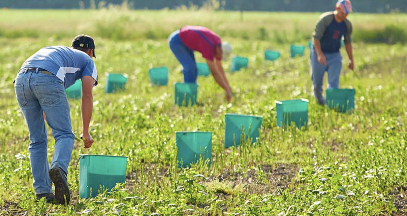
Sustainable food must be produced in a way that takes not only the environment and consumers into account, but also the people who grow, harvest and process it (Source). Resource Creator(s) FoodPrint is a project of GRACE Communications Foundation. GRACE Communications Foundation develops innovative strategies to increase public awareness of the critical environmental and public health […]

Global Carbon Atlas

The Global Carbon Atlas is a platform to explore and visualize the most up-to-date data on carbon fluxes resulting from human activities and natural processes. Users can explore and download global and country level CO₂ emissions from human activity and look at the latest global updates that affect carbon emissions such as the Global Greenhouse […]

World Air Map

This map shows population size, city pollution, background pollution, and plume AQI index in cities in every part of the world. Resource Creator(s) PlumeLabs’ mission is to make air quality information accessible and empowering. Every year, across every border on this planet, air pollution causes more than 7 million premature deaths. The magnitude of the […]

Chicagoans living near heavy-traffic corridors breathe the most polluted air

This resource is a news article from May 16, 2022. It shares the experiences of members living in Little Village in Chicago, Illinois and identifies the connections between traffic, air pollution, and health. It also names some specific areas where traffic related health pollution is the worst in Little Village. Organization: NPR NPR is an […]

Illinois Public Health Community Map

This resource is an interactive map provided by the Illinois Public Health Department. Using the map, you can look at doctor visit rates for the health issues listed below. The map provides data on race/ethnicity, age, education, and household income in various community areas across the state of Illinois. The map provides data for the […]

IQAir Earth

This resource is an interactive map that shows the Air Quality Index in cities all over the world. It also provides a daily world AQI ranking. Organization: IQAir Every year, 7 million people die from air pollution, and billions suffer unnecessarily from the effects of poor air quality. Yet many of people don’t have access to […]

The Weight of Numbers: Air Pollution and PM2.5

Emanating from smokestacks, vehicle engines, construction projects, and fires large and small, airborne pollution – sometimes smaller than the width of a human hair, and very often the product of human activity – is not just contributing to climate change. It is a leading driver of heart disease and stroke, lung cancer, and respiratory infections the […]

Chicago Flood Equity Map

This interactive map shows the racial disparities in flooding by Chicago zip code. Click a location on the map to view underlying flood statistics within that zip code. You may also search for an address or zip code to locate a specific place of interest (Source). Creator(s): Center for Neighborhood Technology CNT delivers innovative analysis […]

Tree Matters

The Bhil people of Central India are amongst the country’s oldest indigenous communities. To them, the natural world is not ‘a thing apart’, but exists in a seamless relationship to their home and the everyday. Gangu Bai, Bhil artist, explores this relationship through her memories and paintings of food, work, festivals, illness, medicine… Her tales […]

Climate Lit

Climate Lit is a hub for building young people’s climate literacy with literature, film, and stories in other media. The website offers a literature database, curricula, and a climate glossary all of which are focusing on increasing students’ climate literacy. Organization: Climate Lit Climate Lit was founded in 2021 as a cooperative of educators, scholars, […]