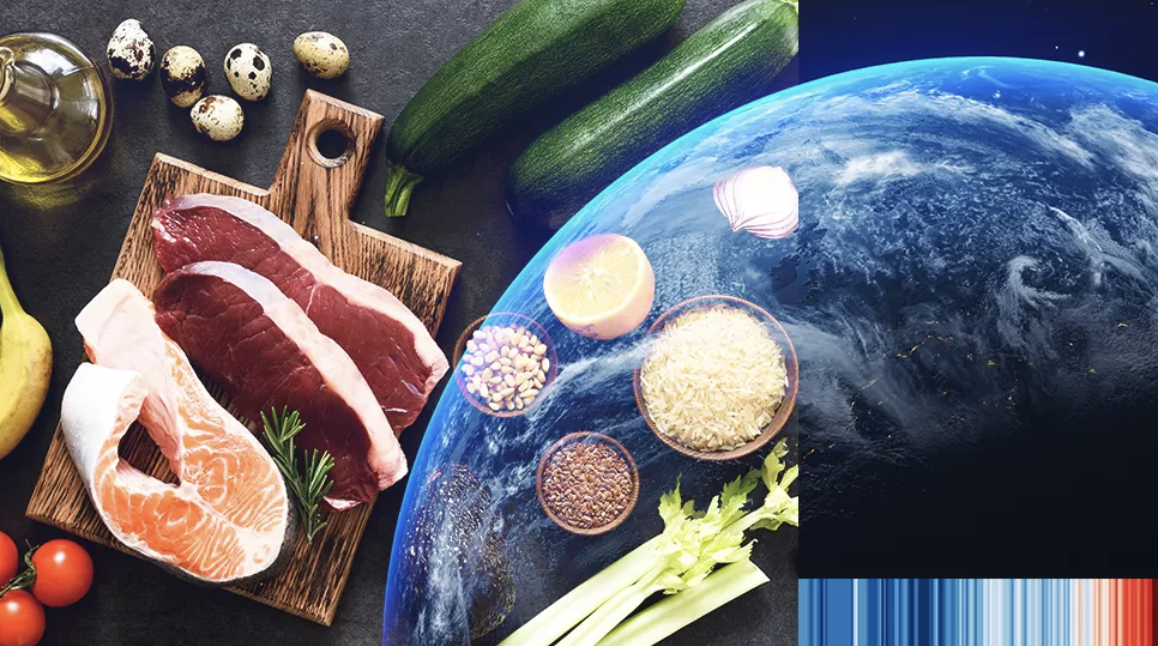
Food impacts more than your health. It impacts the environment, animals and people. What you eat, where it comes from, and how it was produced contributes to your FoodPrint — think of it like a carbon footprint, but for food. So what’s your FoodPrint? Take this 3-minute quiz to find out (Source). Resource Creator(s) Foodprint […]
Category: 6th grade
Eat Low Carbon
Launched in 2007, by Bon Appétit Management Company, the Low Carbon Diet set specific targets to reduce our carbon emissions over five years. In 2015, they moved from a diet aimed at quick reduction goals to a long-term, sustained way of living: the Low Carbon Lifestyle. They’ve developed five easy tips to help people think […]
Climate change food calculator: What’s your diets carbon footprint?
Using the Climate change food calculator, users learn more about the impact meat and dairy products have on their environmental footprint. But what is the difference between beef and chicken? Does a bowl of rice produce more climate warming greenhouse gases than a plate of chips? Is wine more environmentally friendly than beer? To find […]
Global Carbon Atlas
The Global Carbon Atlas is a platform to explore and visualize the most up-to-date data on carbon fluxes resulting from human activities and natural processes. Users can explore and download global and country level CO₂ emissions from human activity and look at the latest global updates that affect carbon emissions such as the Global Greenhouse […]
The Carbon Map
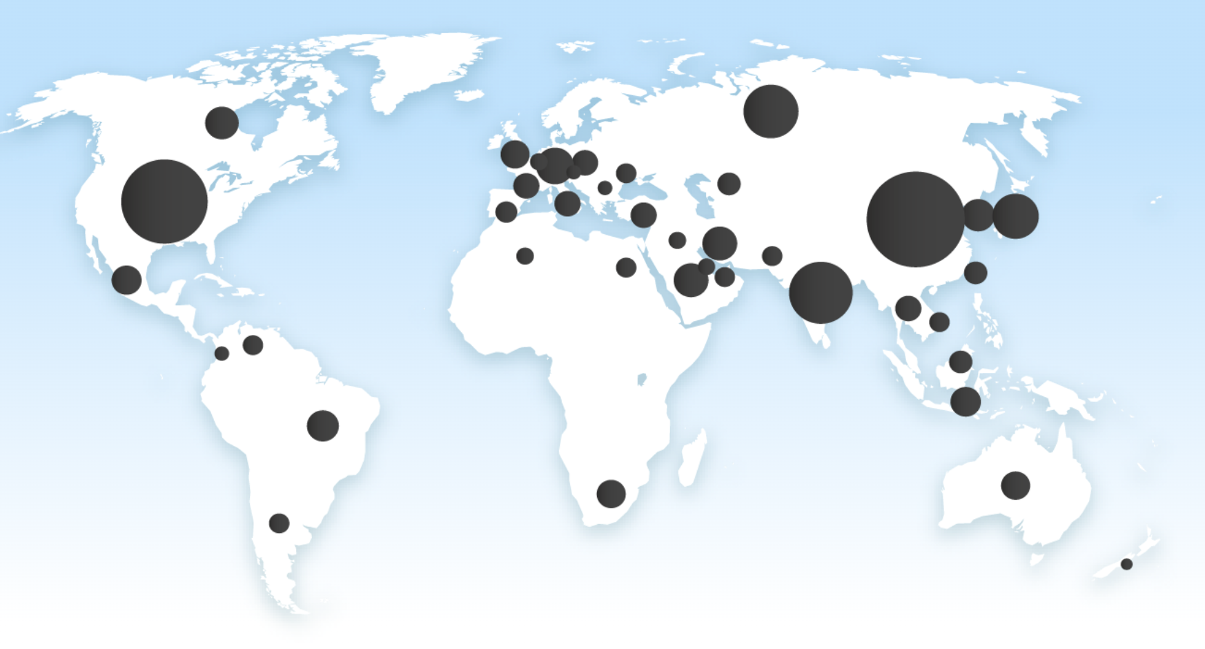
The Carbon Map provides current and historical carbon emission, extraction, consumption, and reserve data. The traditional Robinson map is used to start but can be shifted to show actual land area, population, wealth, people at risk, sea level, and poverty – helping students visualize and make connections between carbon emissions and the above listed factors. […]
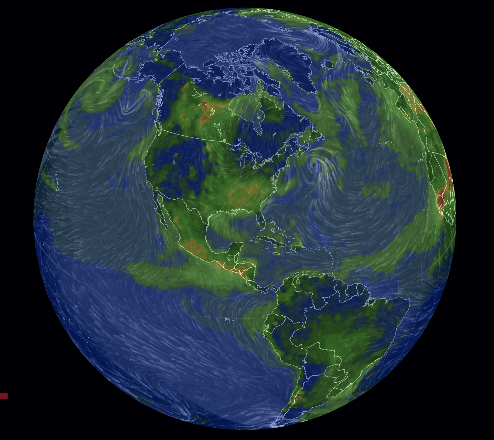
World Air Map
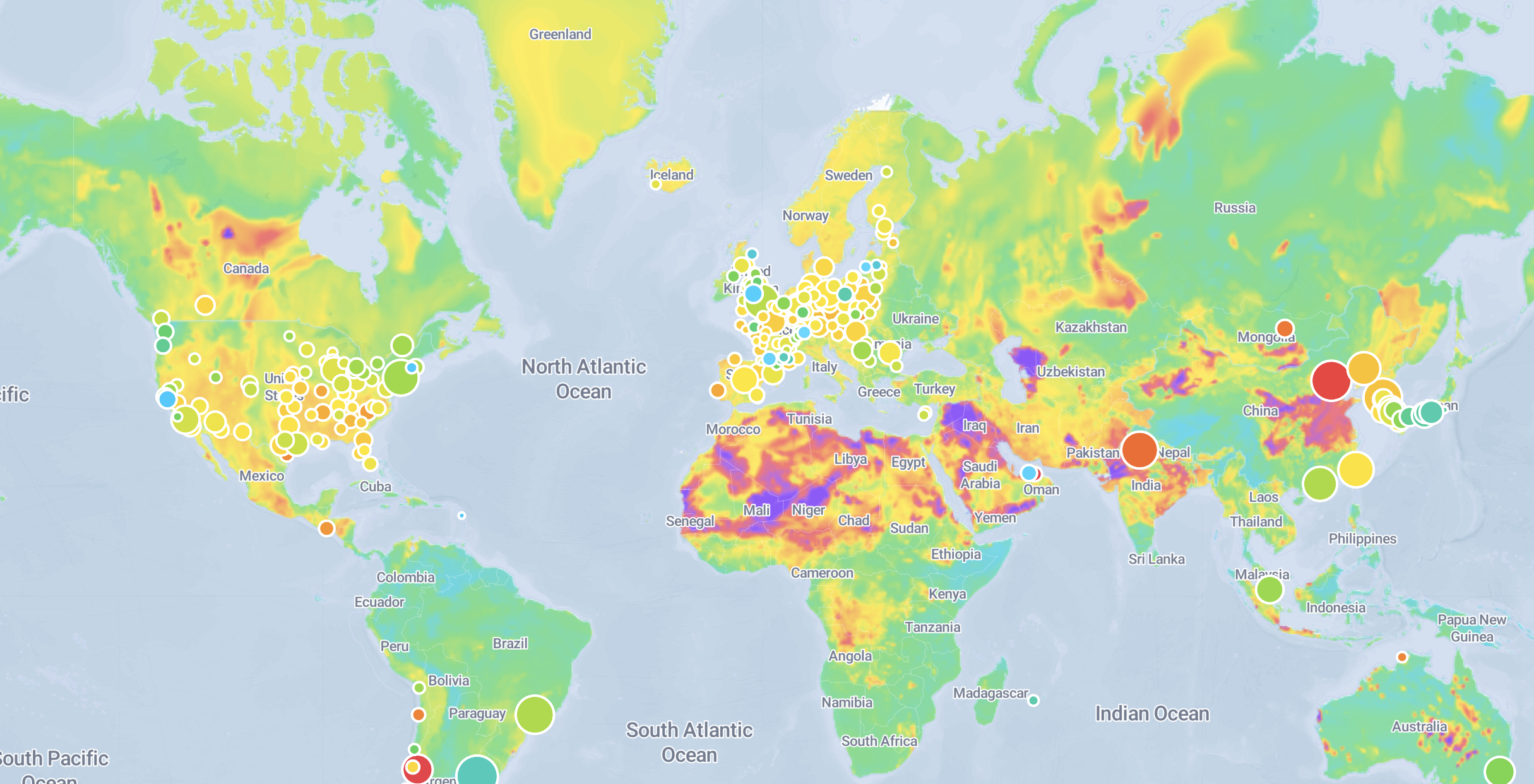
This map shows population size, city pollution, background pollution, and plume AQI index in cities in every part of the world. Resource Creator(s) PlumeLabs’ mission is to make air quality information accessible and empowering. Every year, across every border on this planet, air pollution causes more than 7 million premature deaths. The magnitude of the […]
Chicagoans living near heavy-traffic corridors breathe the most polluted air
This resource is a news article from May 16, 2022. It shares the experiences of members living in Little Village in Chicago, Illinois and identifies the connections between traffic, air pollution, and health. It also names some specific areas where traffic related health pollution is the worst in Little Village. Organization: NPR NPR is an […]
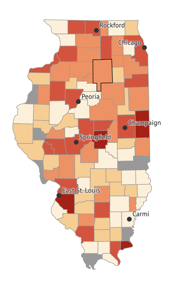
Illinois Public Health Community Map
This resource is an interactive map provided by the Illinois Public Health Department. Using the map, you can look at doctor visit rates for the health issues listed below. The map provides data on race/ethnicity, age, education, and household income in various community areas across the state of Illinois. The map provides data for the […]
IQAir Earth
This resource is an interactive map that shows the Air Quality Index in cities all over the world. It also provides a daily world AQI ranking. Organization: IQAir Every year, 7 million people die from air pollution, and billions suffer unnecessarily from the effects of poor air quality. Yet many of people don’t have access to […]
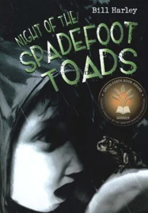
Night of the Spadefoot Toads
Lonely after being displaced by his family’s move from Tucson, Arizona to Edenboro, Massachusetts, Ben Moroney misses the desert ecosystem, his best friend Tony, and his pet lizard Lenny. Desperate for the connections he had in his old home, the fifth grader begins walking through the woods near his house and spending time with his […]